King County considers how to invest in Snoqualmie River flood infrastructure
Published 1:30 am Friday, November 9, 2018
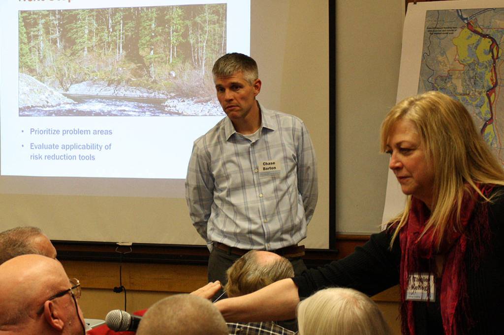
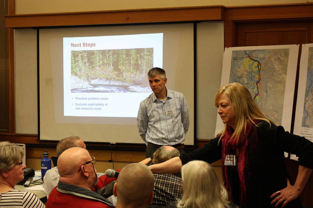


North Bend residents and county representatives met Oct. 30 to talk about flooding solutions for the valley.
The Snoqualmie River basin is prone to floods and has had multiple floods, including four major floods in the last four decades. These floods are known as 25-year flood events, meaning they have a 4-percent chance to happen in any given year. The most recent 25-year flood occurred in 2009 and caused millions in damage across the county. Many areas along the Snoqualmie in East King County were flooded.
The King County Flood Control District was formed in 2007 to find ways to reduce flood impacts and is currently soliciting local input for a capital investment strategy, said county engineer Chase Barton at the meeting.
“We want to hear from you, what the impacts are in your community,” he said.
The capital investments strategy will rank projects by need and feasibility in the area of the Middle Forks Snoqualmie River upstream of its intersection with the North Fork, outside of North Bend. Options include adding height to existing levees, adding wood to banks to protect them from erosion, rebuilding or replacing bridges and culverts, elevating structures above flood levels, repairing levees, dredging the river, setting levees further back from the river or removing levees to restore floodplains.
There are a number of levees already along the Snoqualmie near North Bend, but many were constructed during the 1960s and have steep banks set next to the river. The banks allow the water to erode beneath the levy, weakening them. The levees could be reinforced, removed or moved back to allow the river more leeway during floods.
The county is hoping to reduce risks from floods and channel migration, where the river naturally moves across the landscape due to erosion of the banks. It is additionally hoping to reduce long-term repetitive costs of floods, build sustainable flood management infrastructure and solicit community input in their plans. The Flood Control District will draft a plan this winter and return for public comment by next spring. These projects will include plans for floods as big as a 500-year event.
In addition to levee repairs, the Flood Control District has undertaken projects like reinforcing banks and elevating homes. Following the 2009 flood, the county received more than $2 million in federal emergency funding to elevate 22 homes near North Bend and Snoqualmie.
King County Executive Dow Constantine recently urged residents to prepare for flood season, which occurs between November and February. The county has experienced 12 federally declared floods since 1990. While records aren’t reliable from the time, Barton said a 1959 flood may have been close to a 100-year flood. Families in flood-prone areas should create kits including lights and batteries, a portable radio, non-perishable food, water and books and games.
As climate change continues unabated, the effects will be felt in King County largely through impacts to water. The rainy season will be wetter and the summers drier, meaning snowpack will be significantly reduced by mid-century, leading to more variation between summer and winter flows. Many rivers in the area will switch from being fed through a mixture of snow runoff and rainfall to primarily becoming dependent on rain. Rainfall during winter months will likely increase, which could affect the severity of floods in the region.
Other areas of Washington state are vulnerable to flooding as well, especially along the Chehalis River, which runs from the small mountain town of Pe Ell, through Thurston County before reaching the seaside cities of Aberdeen and Hoquiam. A massive 2007 flood submerged the cities of Centralia and Chehalis as well as a portion of Interstate 5, a critical highway which runs from the Canadian border through Oregon and California to the Mexican border.