
The forecasts did not disappoint — about five inches of snow covered the region and Snoqualmie Valley over the holiday weekend with a chance of more snow this week, according to the National Weather Service.
High temperatures are not expected to surpass 32 degrees until Thursday (Dec. 30) when a high of 33 degrees is expected. There is a 90 percent chance of snow Thursday with 3 to 5 inches expected during the day.
If you have to drive, the City of North Bend has a map of the snowplow routes available here. Here is the City of Snoqualmie’s snow and ice removal plan.
This cold snap broke the record for the biggest difference in temperature in a single calendar year in Seattle with a high of 108 degrees Fahrenheit on June 28 and a low of 17 degrees Fahrenheit on Monday, Dec. 27, according to the National Weather Service Seattle.
The snow is a bit heavier and the weather is a bit colder in the Snoqualmie Pass. According to the Washington State Department of Transportation, Snoqualmie Pass has received 44 inches of new snow since Christmas Eve (as of Monday afternoon). Conditions will be mostly dry through Thursday. Chains are required through the pass.
Snoqualmie Valley weather forecast
Tuesday, Dec. 28: High of 31 degrees, low of 18 degrees.
Wednesday, Dec. 29: High of 30 degrees, low of 23 degrees.
Thursday, Dec. 30: High of 33 degrees, low of 19 degrees. There is a 90 percent chance of snow with 3 to 5 inches expected.
Friday, Dec. 31: High of 30 degrees, low of 21 degrees.
Saturday, Jan. 1: High of 38 degrees, low of 36 degrees. Rain/snow showers possible. Snow would be less than 1 inch.
Sunday, Jan. 2: High of 38 degrees, low of 34 degrees. Rain/snow showers possible.
Buses etc.
Due to poor road conditions across the county, King County Executive Dow Constantine directed King County Metro to activate its Emergency Snow Network (ESN). The ESN reduces services to about 60 core routes prioritized by local cities, according to King County. The routes serve key areas with high ridership and coordinate with snowplows to ensure the routes are safe. The ESN went into effect at 4 a.m. Monday (Dec. 27) and will remain in operation until road conditions have improved, according to King County.

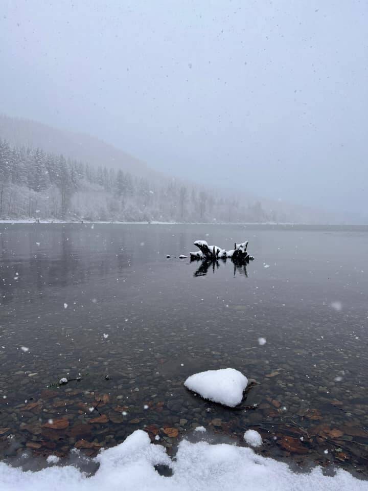
Photo submitted to the Valley Record by Sheri Taylor
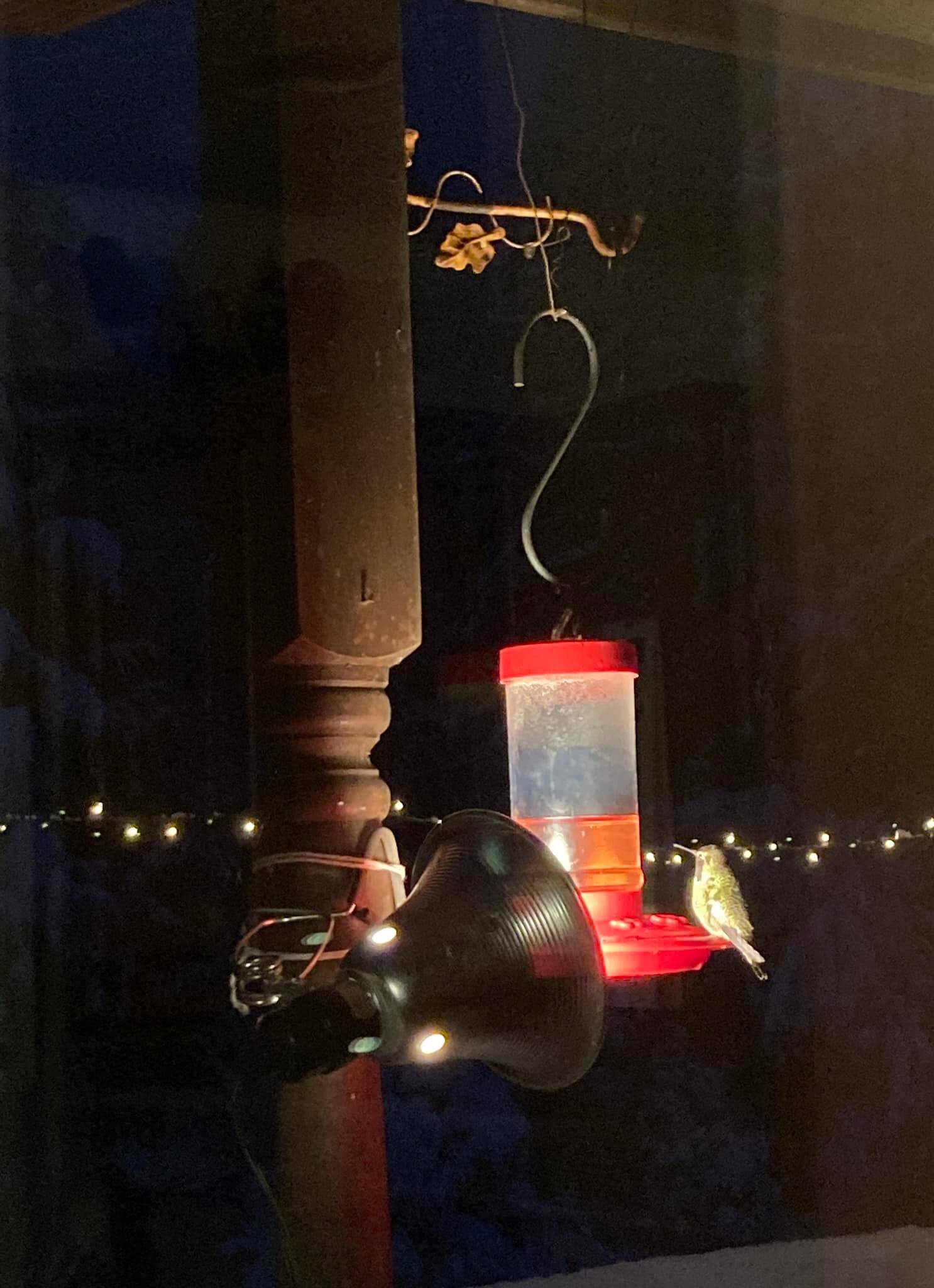
Keeping the hummingbirds warm and fed. Photo submitted to the Valley Record by Cindy Helmick Parks
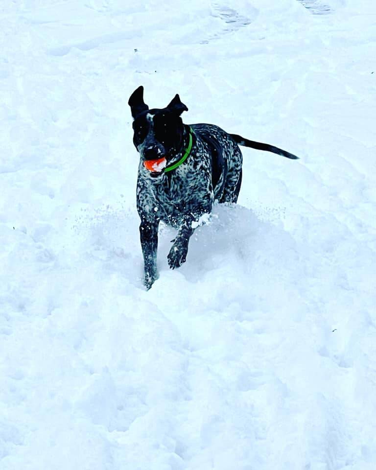
Photo submitted to the Valley Record by Cindi Davis

“My Benny boy loves the snow.” Photo submitted to the Valley Record by Robin L. Shehan
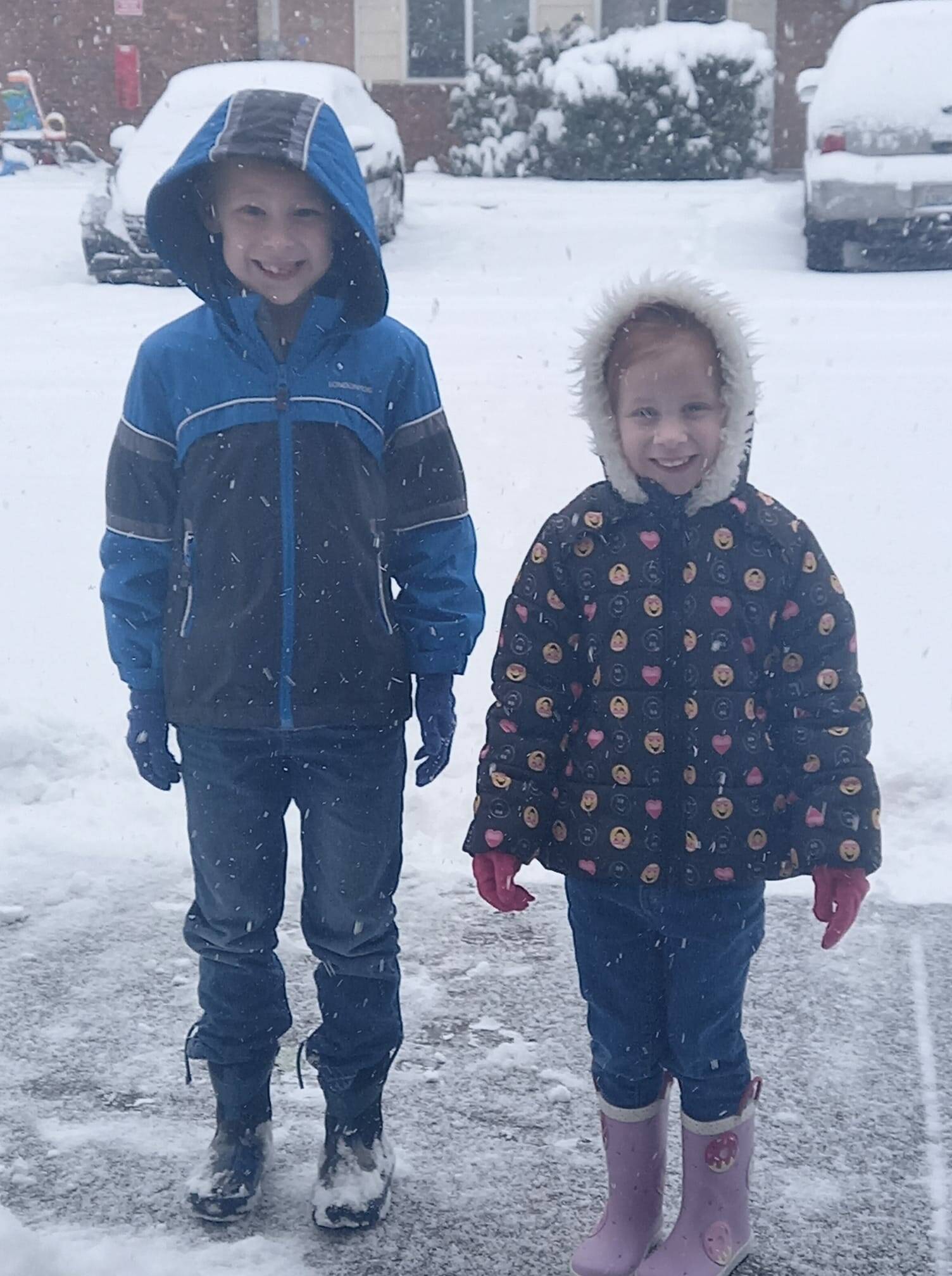
Photo submitted to the Valley Record by Shelby Lynn Shehan
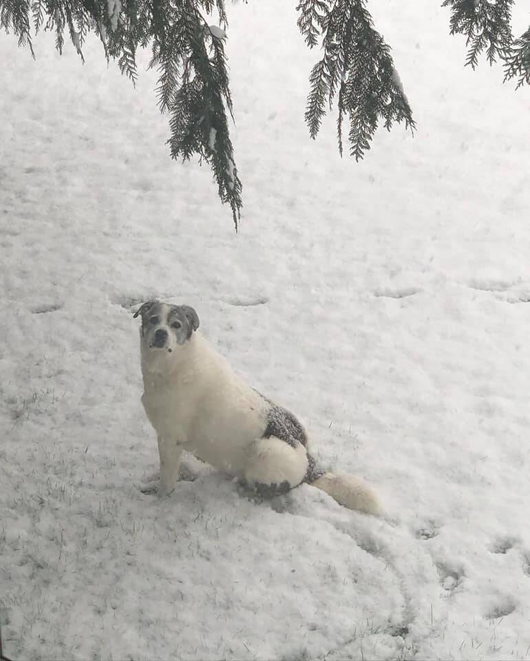
Photo submitted to the Valley Record by Mary Ellen Alspaugh Lingo
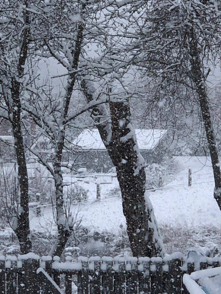
Photo submitted to the Valley Record by Mary Ellen Alspaugh Lingo
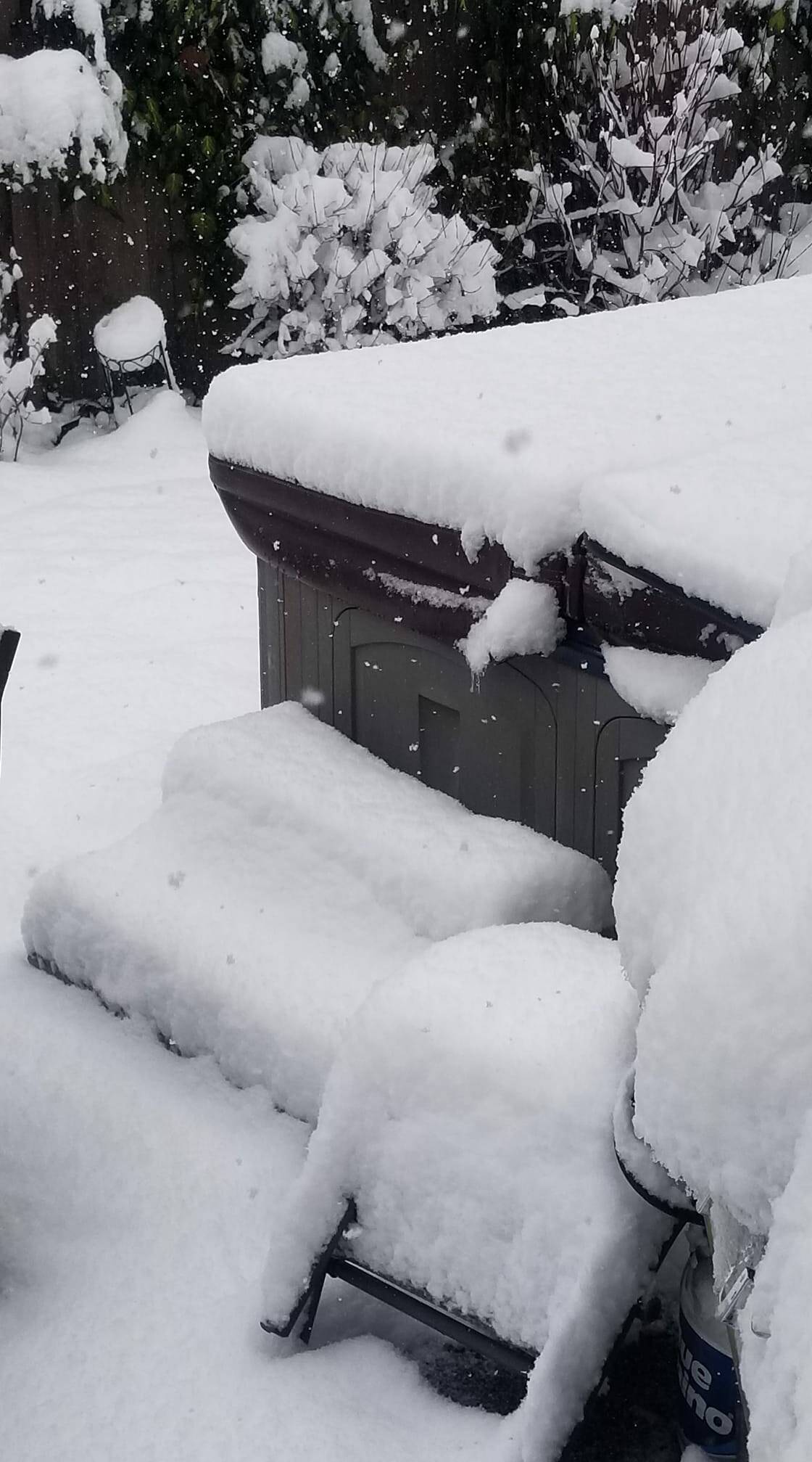
Photo submitted to the Valley Record by Jennifer VanderPol Tracz
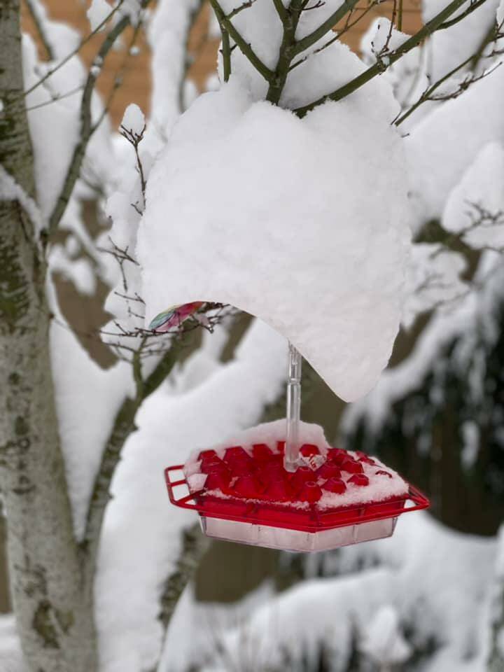
Photo submitted to the Valley Record by Carie Johannes
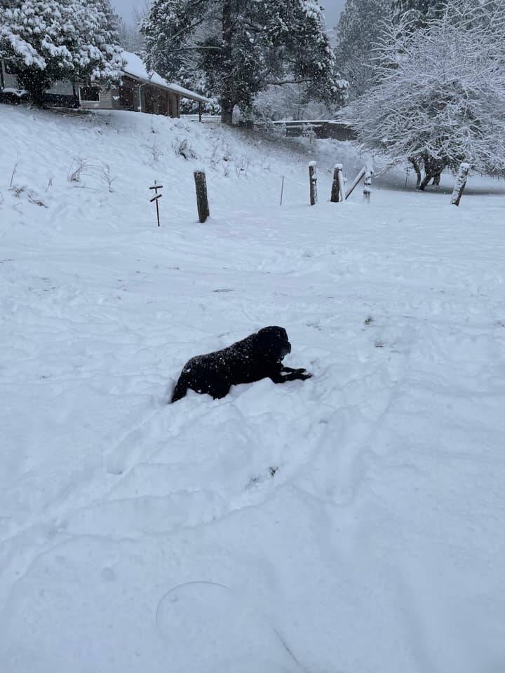
Photo submitted to the Valley Record by Tina Barker
