
The Snoqualmie Watershed has hit flood Phase 4 for the first time since 2019, according to King County.
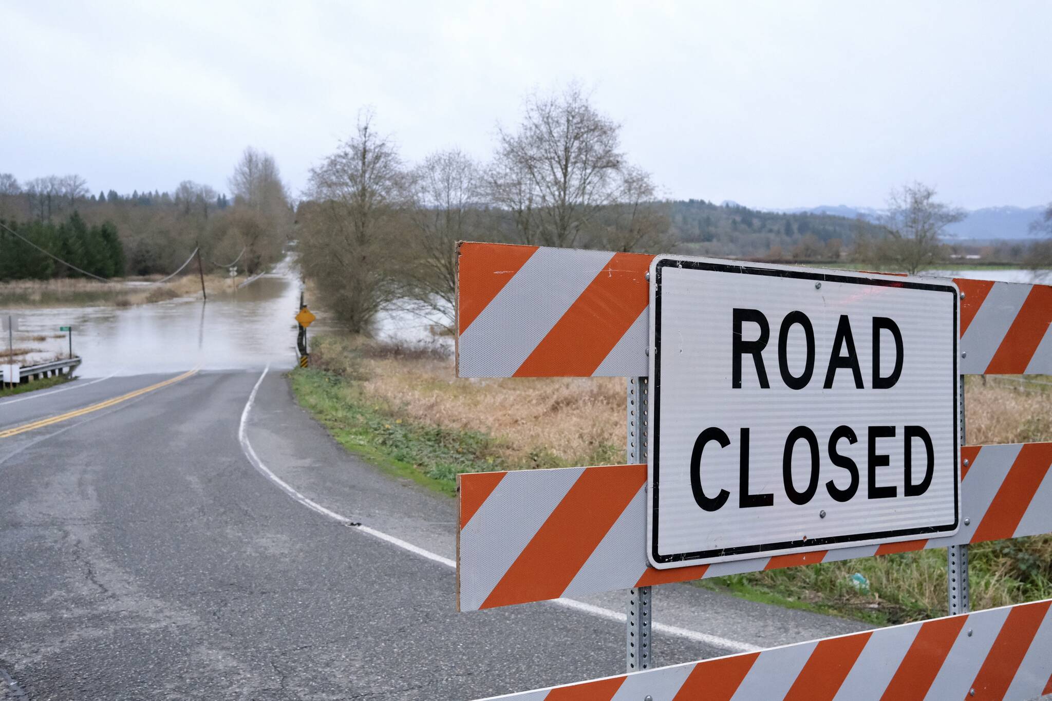
King County sent out flood patrols around 10 p.m. Dec. 8; flood patrols typically go out when flooding hits Phase 3. The morning of Dec. 9 (Tuesday), flooding went into Phase 4, with several roads experiencing closures. As of 6:30 p.m. on Tuesday evening, the large road closures remaining include West Snoqualmie River Road SE outside Carnation, Neal Road SE near Fall City and NE 124th Street by Duvall.
King County reminds residents to not drive around road closure signs or drive through any standing water. Fast-moving flood water can sweep a person off their feet at 6 inches, move cars off the road at 12 inches and carry away most vehicles at 2 feet.
Much of the flood waters have gone down, but they are expected to rise again starting Wednesday night (Dec. 10).
The Snoqualmie River below the Snoqulamie Falls is expected to hit a peak of 18.58 feet by 10 p.m. on Dec. 10. Then, the river at Carnation is expected to hit a peak of 59.8 feet by 10 a.m. on Dec. 11, according to the Northwest River Forecast Center. For context, major flooding is considered 58 feet at the Carnation gauge.
Flood resources
For real-time flood level information in the lower Valley, visit floodzilla.com/gage or flood.kingcounty.gov. Both Floodzilla and King County also have flood warning apps.
For real-time road closure information, visit gismaps.kingcounty.gov/MyCommute and wsdot.com/Travel/Real-time/Map.
Sandbags are available in the Snoqualmie Valley at City of Carnation Public Works, the King County Roads Facility in Fall City, North Bend City Public Works and at 38190 SE Mill Pond Rd. in Snoqualmie.
