Several roads reopen as Snoqualmie River flooding recedes
Published 11:00 am Wednesday, March 18, 2026
The Snoqualmie River basin has returned to King County flood phase 0, meaning no flooding, as of March 23.
Water levels went up, down and back up again starting March 18 before finally slowing during the sunny weekend of March 21-22.
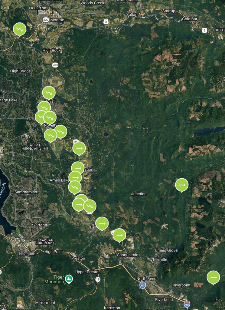
The only Floodzilla gauges that show flooding are near Duvall, as of March 23 at 10:30 a.m.
Track flooding and sign up for flood alerts at floodzilla.com/gage.
Road closures
• NE 100th Street & 248th Ave NE between Duvall and Carnation
• NE 80th Street
• West Snoqualmie River Road NE & West Snoqualmie River Road SE
• 316th Avenue SE & SE 28th Street
• Neal Road SE near Fall City
• 308th Ave SE at SR 202
NE 124th Street outside Duvall has reopened, as has NE Tolt Hill Road outside Carnation.
For updates, visit gismaps.kingcounty.gov/mycommute.
Resources
Check local city websites and social media pages for updated information in your city.
For more King County flood information, visit flood.kingcounty.gov.