
The city of Snoqualmie and contractors have completed the stabilization of the Canyon Springs water line site after a November 2017 landslide.
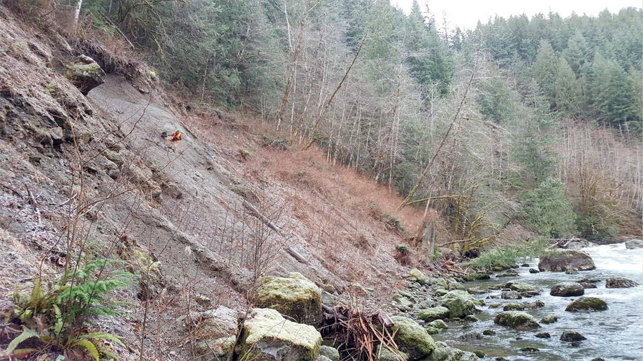
In November 2017 a landslide hit the Canyon Springs spring box water collection facility along the north fork of the Snoqualmie River. A 150-foot wide and 90-foot tall section of the hillside slid where the water line piping sits behind.
The collection facility is one of the city’s primary water sources providing more than 1,500 acre feet a year. With land destabilized by the first slide, the piping was in danger from future slides.
In January, Aspect Consulting completed an initial assessment of the site and recommended the city take immediate steps to stabilize the hillside to prevent damage to the water system. The city council approved emergency action to proceed.
In July, the council awarded GeoStablization Inc. (GSI) the contract and they began the repair project in August. The work was finally complete in November 2018.
GSI’s stabilization plan involved driving 170 soil nails into the hillside and covering the site with a tensile-strength, anchored mesh. The stabilization solution would have a life of about 50 years, project engineer Jeff Hamlin said.
At the Nov. 26 city council meeting, the city council approved change orders for the project granting additional payments of $16,753 for Aspect Consulting and $52,550 for GSI because of delays caused by difficult site work. Project work was delayed seven weeks due to complications in the drilling process so more funding was requested for those services.
Hamlin said that with the additional change order their total cost came to $829,874 which is still about $400,000 below the second-lowest bidder for the project. Staff’s estimate for the total project cost was $1 million and they came in at $939,131 overall, he said.
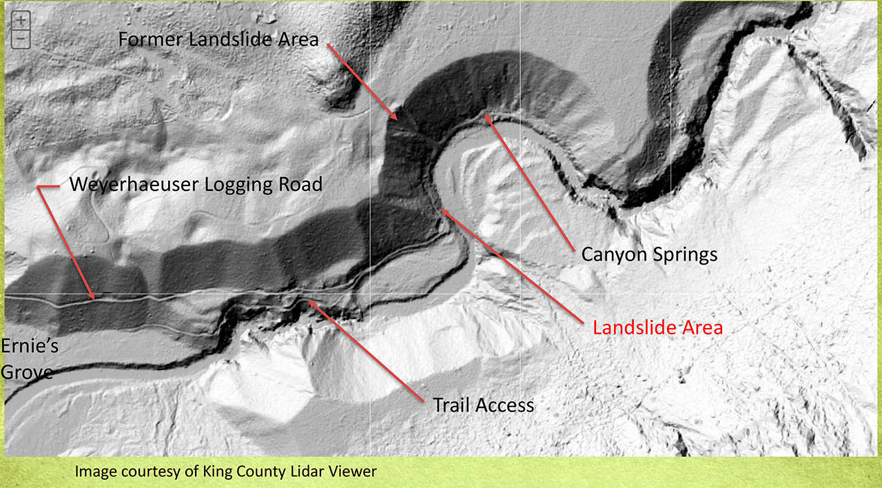
A map of the Canyon Springs area marking the location of the recent landslide. (Courtesy Photo)
